Printable plate tectonics map worksheets
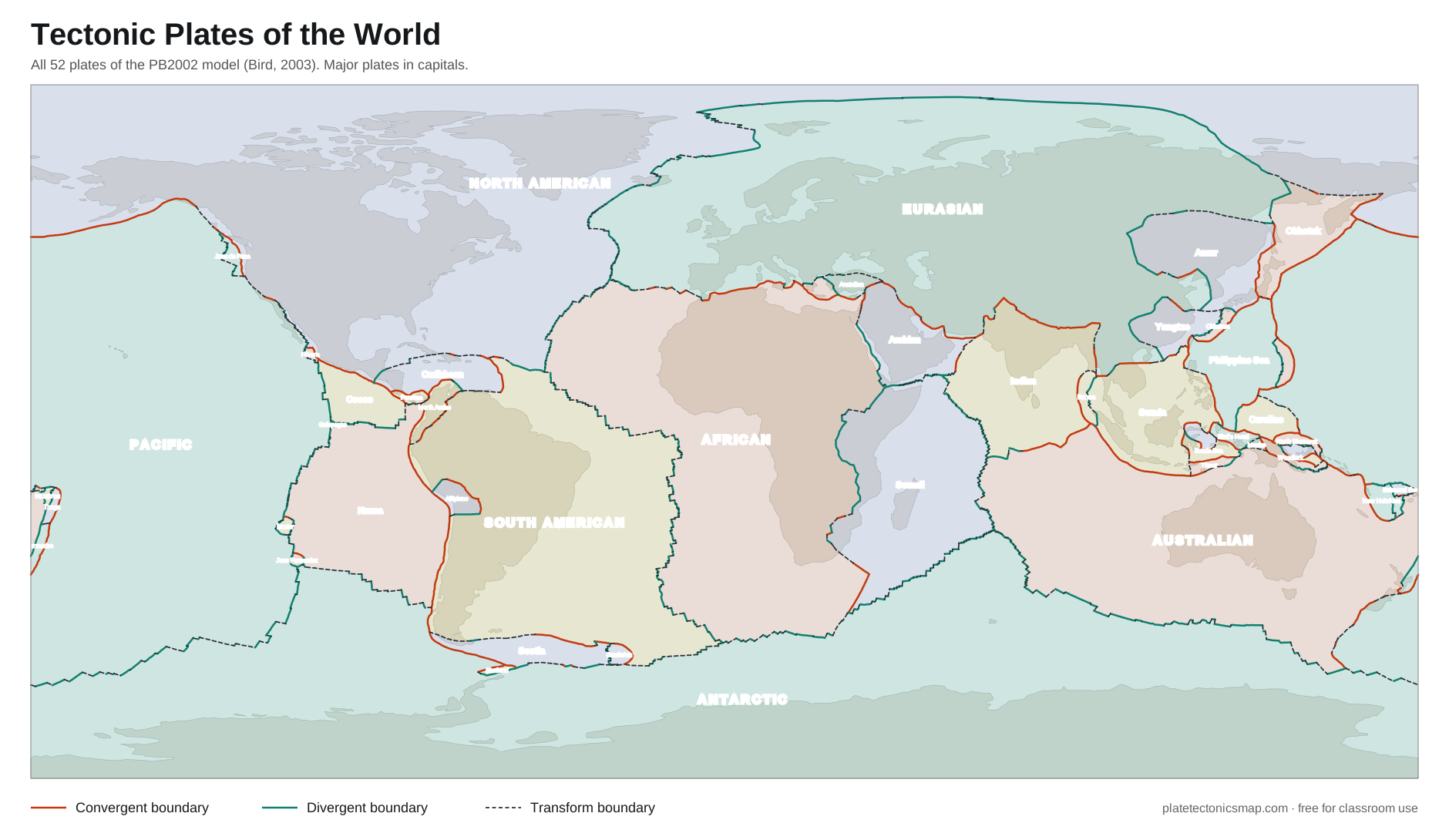
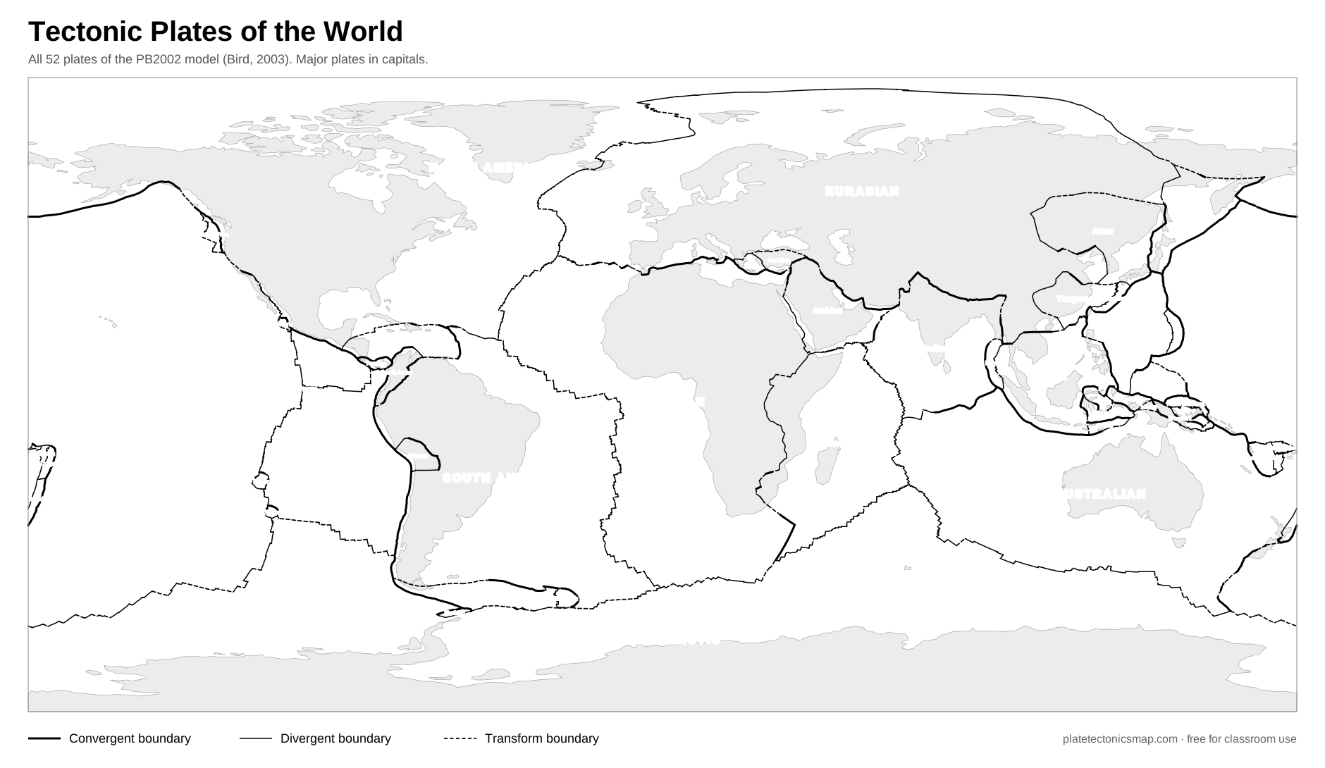
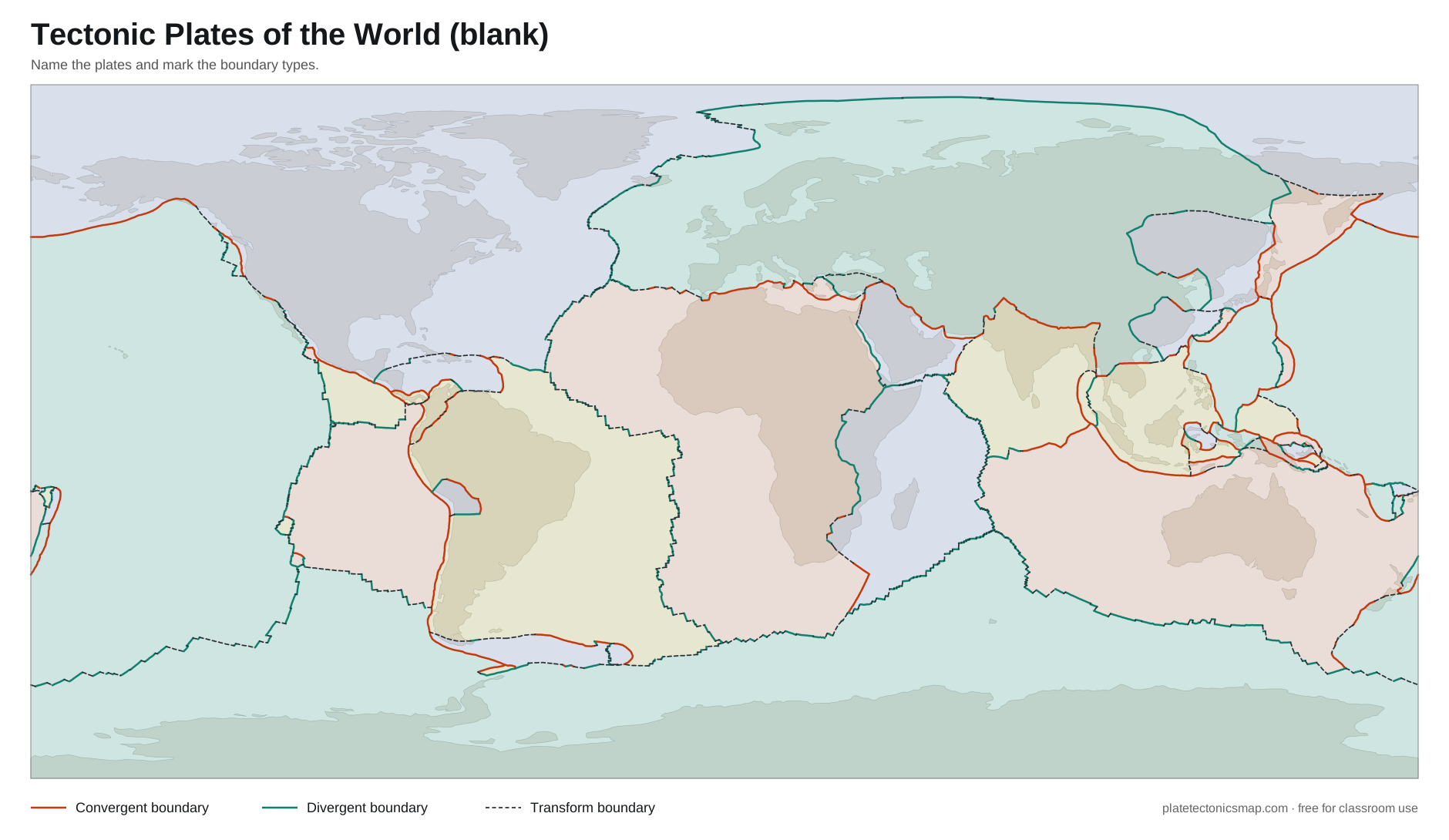
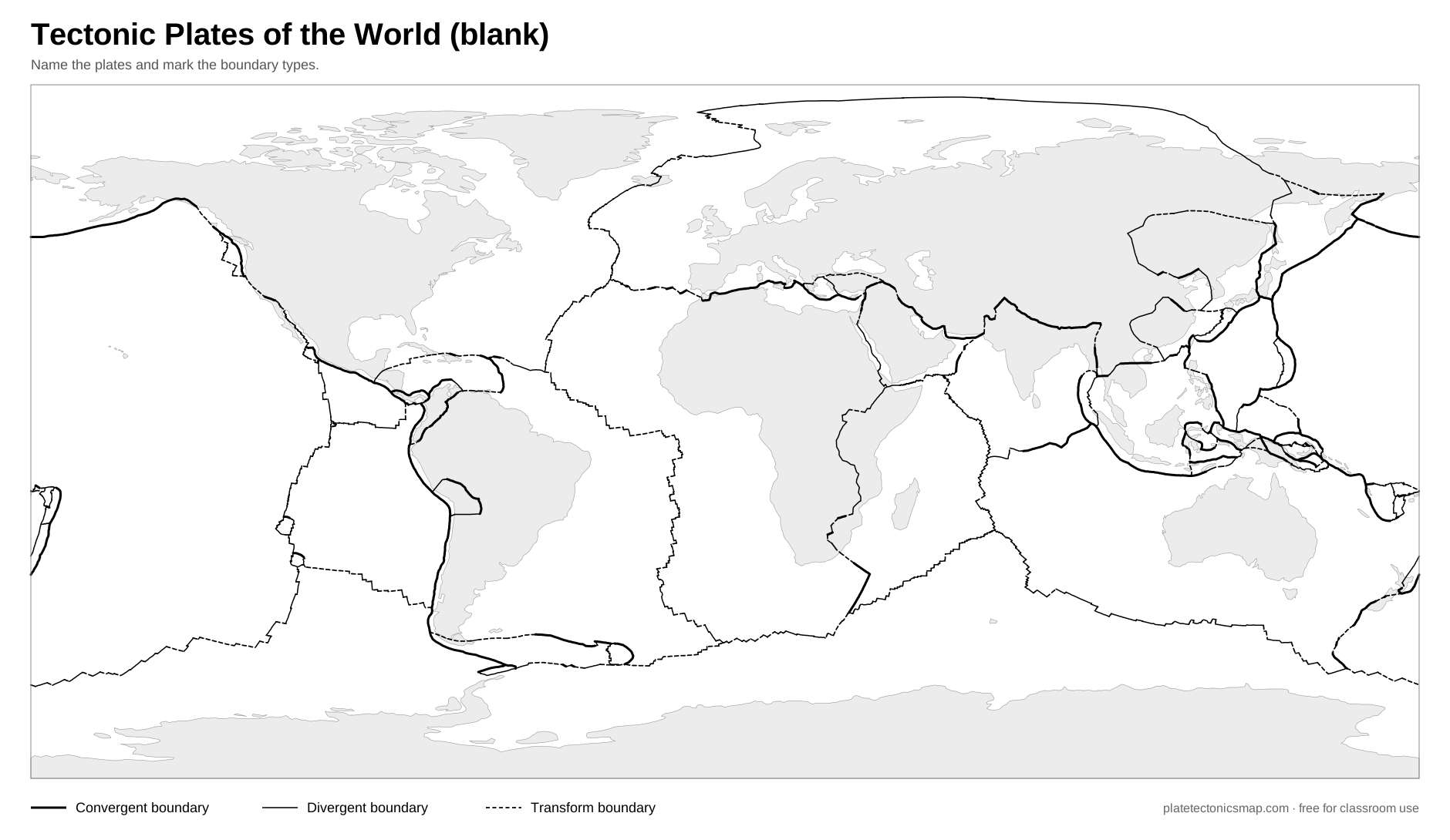
Four free world maps of the plates, labeled and blank, in color and black and white. Vector files, so they print sharp at any size.
Ideas for using the blank map
- Label the seven major plates, then add as many minor plates as you can.
- Color convergent, divergent and transform boundaries in three colors, then check against the interactive map.
- Mark ten famous volcanoes and five great earthquakes from the volcano map and earthquake map, and explain why they sit where they do.
- Draw arrows for plate motion using the speeds on each plate page.
Frequently asked questions
Can I use these maps in my classroom?
Yes. They are free for classroom, homework and non-commercial use. Please keep the small credit line in the corner.
How do I print a map at full size?
Click Print on the map you want. In the print dialog choose landscape orientation and "fit to page". Because the maps are vector files, they stay sharp on A4, Letter, A3 or even poster sizes.
Why does this map show 52 plates when my textbook shows 7 or 15?
The map follows the PB2002 model, which adds microplates in busy regions such as Indonesia and the Andes. The 7 major plates are labeled in capitals so students can find them first. See how many tectonic plates there are.